Field Trip
Drive Guides
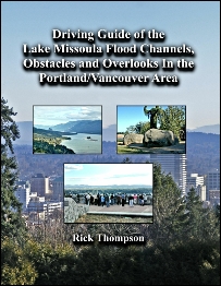
Driving Guide of the Lake Missoula Flood:
Channels, Obstacles & Overlooks in the
Portland/Vancouver Area - $8.00
A detailed self-guided driving tour showing how the
Portland/Vancouver area was shaped by the Missoula Flood. Sites include: Grant Butte channel, huge boulders at Columbia Park, Sullivan’s Gulch, Portland Bluff, Cape Horn in the Columbia River Gorge, Washougal River channel, and the Prune Hill overlook.
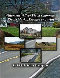
Willamette Valley: Flood Channels, Ripple Marks, Erratics and Wine Driving Guide - $8.00
A self-guided driving tour showing how the inflowing waters of the Lake Missoula Flood shaped the north western portion of the Willamette Valley. Includes Tonquin and Yamhill flood channels, Chehalem Creek flood channel and ripple marks, Holmes Gap flood channel and ripple marks, Erratic Rock State Natural Site, other glacial erratic boulders and a visit to two wineries.
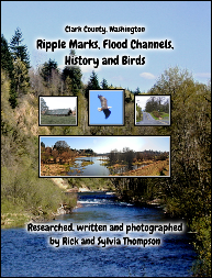
Clark County: Ripple Marks, Flood Channels,
History and Birds Driving Guide - $8.00
An all-day tour of Clark County, Washington highlights: Burnt Bridge Creek flood channel, Salmon Creek flood channel, Whipple Creek drainage channel, Gee Creek flood channel and the enormous East Fork Lewis River flood channel. Also Allen Canyon, giant current ripples in various locations, and McLoughlin Heights: a huge gravel bar left by the floods.
At Ridgefield National Wildlife Refuge you can bird watch, visit an archeological site and see the Plank house at Cathlapotle, one of the largest Chinookan settlements on the Lower Columbia River which was visited by Lewis & Clark.
 More Drive Guides
Home
More Drive Guides
Home
Drive Guide for an all-day tour of Lake Missoula Flood evidence in Clackamas County. Highlights of the trip include: a newly discovered spillway between the Clackamas Valley and the Willamette Valley. Baker Cabin where the Lake Missoula Flood created a short-lived waterfall and carved holes in the basalt which the Native Americans later used for grinding stones. A bird’s eye view of the Carver Gap and flood channel. The reputed second largest glacial erratic in Oregon. Canemah - a scabland on the east side of the Willamette River. Willamette Falls which is a receding waterfall created by the ice age floods.
Discovering the Lake Missoula Flood
In Clackamas County - $ 8.00