Revised
Second Edition
Now In Color!
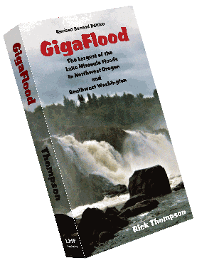
GigaFlood:
The Largest of the
Lake Missoula Floods
in Northwest Oregon
and
Southwest Washington
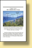
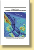
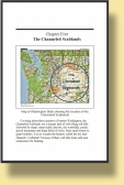
Covering a brief history of Glacial Lake Missoula and the factors leading to its creation and dam-bursting flood, GigaFlood follows the path of the largest of the Lake Missoula Floods, as its 540 cubic miles of water, 40 cubic miles of ice, 50 cubic miles of rock, sediment and debris tore down the Columbia River Gorge at speeds up to 65 miles per hour, and traces the influx and exit channels in the areas north and south of the Columbia River as it overflowed the Portland/Vancouver area as well as the Clackamas, Tualatin, Yamhill and Willamette valleys up to the 400 foot level.
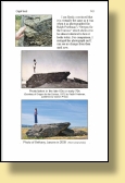
With 208 pages, 182 photographs, 52 maps, and 10 illustrations, GigaFlood reveals the many indelible marks left on the landscape such as kolk lakes, gravel bars 200-300 feet high, truncated hillsides, flood channels, and erratics boulders. Many of these subtle features were previously unrecognized though hidden in plain sight.
Like a detective story GigaFlood points out the clues in NW Oregon and SW Washington that show the effects of this cataclysm and reveals what those features are and how they were formed. You will see this area with new eyes
and it will never be the same again.
Sample Pages
Five stars on Amazon!!!